A sandstone cliff, a fern-lined walking track and a waterfall in the distance might inspire questions that don’t often arise from a textbook on their own. What causes valleys to look like this? How does elevation influence vegetation? And what if tourists, ecosystems and the local community can’t all get along?
Blue Mountains school excursions offer students an integrated learning environment where they can investigate the landscape and explore the relationships between the environment and human activity. Collect evidence of features and discuss competing worldviews as they develop their understanding of the environment.
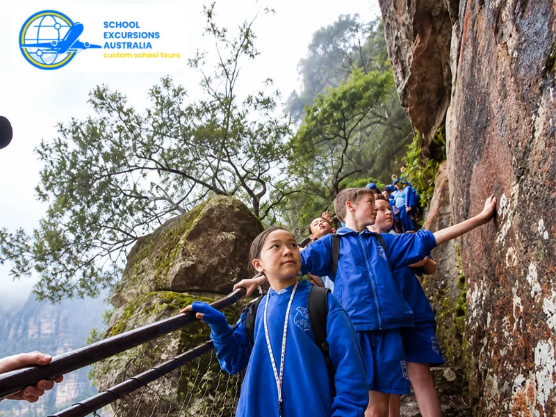
Reasons the Blue Mountains are perfect for an outdoor classroom
The Greater Blue Mountains Area is over one million hectares of sandstone plateaux, escarpments and gorges. Its variety of habitats, striking landforms and cultural history makes it ideal for learning across several KLAs.
What makes this section so unique is the opportunity for students to explore relationships and not isolated facts. The bedrock affects the landforms; the landforms affect the water; the local conditions affect the vegetation; and people, and their activities, create additional management pressure.
The region is also internationally important from an environmental perspective. UNESCO listed the Greater Blue Mountains for its wide variety of habitats, its important plant species, and ecological processes. There are over 90 eucalypt species and older plant specimens, including the Wollemi pine.
This leads to the area being available for questions like:
- How can you identify the differences between different plant communities?
- What role have erosion and weathering played?
- What makes an ecosystem environmentally significant?
- How can visitor access be managed responsibly?
- How do people stay connected to Country?
What Students Discover On Blue Mountains School Trips
What makes for a good field school? The best field schools are geared towards inquiry and not “tourism”. Students need to have a purpose and a reason to observe, take notes, compare or contrast something.
Geology and Landscape Formation
The Blue Mountains show real-life evidence of Earth shaping. As well as looking at sandstone cliffs, valleys and waterfalls, students can explore craggy rock ledges and surfaces marked by weathering.
Students may study (by year):
- The formation and properties of sedimentary rock
- Physical and chemical weathering
- Water erosion and valley development
- Cliff retreat and slope processes
- The relationship between geology and drainage
The influence of elevation on local conditions
Students of younger age may be able to recognize the various aspects of nature and draw labeled pictures of them. Students who are older may collect data and begin considering the working of geological phenomena for longer periods of time.
A field sketch drawn out in a lookout can turn into more than an art. Students can mark out rock strata, tilt of the land, flow of vegetation, and initial flow of settlement and transport infrastructure – all evidence to analyze in the classroom.
Ecosystems and Biodiversity
Wet and dry forests, heathlands, swamps, grasslands, and sheltered rainforest sites are found throughout the area. Travelling between sites allows students to compare the differences in vegetation based on moisture, soil, elevation, fire and aspect.
The NSW Government says the World Heritage area is characterized by eucalypts, with a rich diversity of rare and threatened plant species. It extends across the Country of the Darkinjung, Dharawal, Dharug, Gundungurra, Wiradjuri and Wonnarua people.
Students can investigate Biodiversity By:
- Recording plant characteristics
- Comparing canopy and understorey layers
- Looking for evidence of animal activity
- Measuring temperature, wind or soil moisture
- Identifying relationships between habitat and species
- Using fire to control weeds and climate change
These activities reinforce that for students an ecosystem is a network of interconnections, so a change to the access to water, the amount of fire or the number of visitors may impact many parts of that network.
Do not allow nature collecting by teachers. Photographs, sound recordings, field notes and sketches can record what is found without having to take objects.
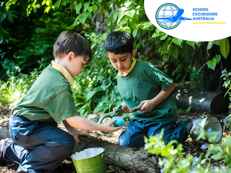
Aboriginal Connections to Country
In relation to teaching the Blue Mountains, it is essential that Aboriginal perspectives be taught respectfully and, if at all possible, by Aboriginal educators, rangers or cultural programs.
The concept of Country not only involves the connection between the place, but also the connections between the land, the water, the plants, the animals, the people, the stories, and the cultural obligations.
Suitable programs may explore:
- Continuing relationships with Country
- Cultural uses and meanings of plants
- Ways knowledge is shared
- Aboriginal approaches to caring for land
- The importance of cultural sites
The distinction between respectful learning and cultural misappropriation
Teachers need to verify who wrote and provides the lessons. Programmes that contain Aboriginal content are most effective when local communities have control of the content and decide what can be communicated.
And pre-visit is useful too. Students need to understand that cultural information is not just another series of facts for them to replicate. They need to listen attentively and consider appropriate language and behaviour with regard to photography.
History, Movement and Changing Land Use
Historical research can be done in the region. The students could undertake historical research related to transport routes, exploration during the colonial period, tourism, settlement, and the perception of the environment.
The following programs have been developed for students based on the syllabus and experience programs related to Aboriginal cultures, mountain regions, environmental management, and crossing the Blue Mountains.
Teacher’s notes are stage and site specific so that the teacher can develop their program to suit a particular unit of study.
Get students to consider the history of the landscape. The students could compare the old sources and the current landscape. They could use maps, photographs, route cards and objects to think about:
Why particular routes were developed
- How transport changed access to the region
- How tourism influenced towns and infrastructure
- Whose perspectives appear in historical accounts
How the same place is interpreted differently over time
This stops history from being just a list of everything that happened. Instead students look at evidence, challenge who is represented and ask how decisions impacted on people and places.
Tourism and Environmental Management
There are many visitors to the Blue Mountains. There are many ways to investigate the relationship between tourism and conservation. From lookouts and walking tracks to transport and visitor centres you can see where access is a concern.
Students can observe management strategies such as:
- Defined walking tracks
- Viewing platforms and barriers
- Directional and interpretive signs
- Waste-management facilities
- Track closures or rehabilitation areas
Restrictions protecting cultural or environmental values
Older students could brainstorm whether these are measures would be effective. They could reflect on the needs of residents, visitors, businesses, Traditional Custodians and environmental managers.
That allows for a more balanced conversation than having the “it’s all wonderful or everything about it is horrible’ debate. On the positive side tourism can bring employment to the region and foster concern for the environment.
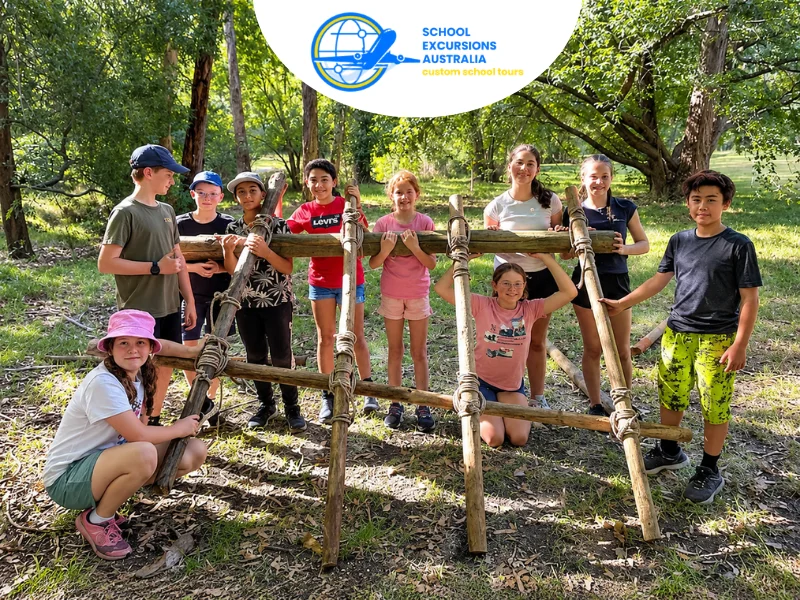
Fieldwork and Practical Skills
Good Blue Mountains education tours help develop skills in students that can be applied in multiple subjects. For example, fieldwork ensures students take accurate notes and analyze data.
𝐒𝐭𝐮𝐝𝐞𝐧𝐭𝐬 𝐦𝐚𝐲 𝐩𝐫𝐚𝐜𝐭𝐢𝐬𝐞:
- Reading topographic or visitor maps
- Recording observations systematically
- Creating field sketches
- Using geographical equipment
- Comparing primary and secondary evidence
- Working safely within a group
- Communicating findings clearly
Adventure activities should enhance a program when they add value. A nature walk could be used to foster a comparison of ecosystems, to provide orientation, or for self discovery. Physical activity should never be used at the expense of a learning focus.
Matching Activities to Student Age and Curriculum
Blue Mountains student tours must take into consideration the students’ level, skills and current knowledge. The same site can encourage a different result by how the activity and questions are shaped.
Student group | Suitable learning focus | Possible activity |
Early primary | Natural and human features | Guided observation and picture-based recording |
Upper primary | Environments and change | Habitat comparison or annotated landscape sketch |
Junior secondary | Landscapes and landforms | Field measurements and geomorphology study |
Middle secondary | Environmental change | Visitor-impact survey and management evaluation |
Senior secondary | Fieldwork and analysis | Data collection, mapping and extended investigation |
The amount of content should remain manageable. Covering two connected ideas thoroughly is often more valuable than moving rapidly through several unrelated topics.
Planning School Trips in the Blue Mountains NSW
A successful visit is based on what is decided prior to the students arriving. Consider learning objectives, conditions of walking, methods of transportation, weather and student needs collectively.
Set a Clear Inquiry Question
Begin with a question that your students can test by means of direct observation. For instance:
- How does plant cover vary over more exposed and sheltered locations?
- How has water shaped this landscape?
- How do you limit visitor access close to sensitive areas?
- What document shows the modification of human usage of the area?
A narrow question aids teachers in choosing locations and skipping activities that eat up time but do not serve the purpose.
Review the Location and Walking Route
Assess walking distances, gradients, stairs, track surfaces, toilets, shelter and bus access. Not all routes are suitable for all classes.
Accessibility is a responsibility of the activity provider, not the venue. Activities should be accessible at all activity points, not just the venue level. Students may require different viewing points, less travel, rest breaks and different recording exercises.
It is important that you check the warnings and access conditions associated with the NSW National Parks close to where you will depart from. The visitors might be affected because of the track and access conditions in these parks.
Prepare for Changing Weather
Weather in the mountains can be vastly different from Sydney or the lower hills. Rain, temperature, mist and wind can all significantly influence the enjoyment and safety of any walk.
Look out for the Bureau of Meteorology forecast for Blue Mountains National Park during final preparations. Schools should also have specific severe weather arrangements, altered routes and cancellation arrangements.
Students may require:
- A waterproof outer layer
- Warm clothing suited to the season
- Enclosed walking shoes
- Sun protection
- Drinking water
- Food that can be carried securely
- Any required medication
The production schedule should be a function of the actual program.
Plan Before and After the Visit
Preparation equips students with the base knowledge to observe closely. Teachers could introduce the inquiry question, go over maps and proper conduct, and practise fieldwork techniques ahead of time.
After returning, students might:
- Organise observations into a table
- Compare results from different sites
- Create a fieldwork report
- Evaluate a management strategy
- Explain a landform using evidence
- Reflect on how their perspective changed
This last step turns the information it gathered into learning.
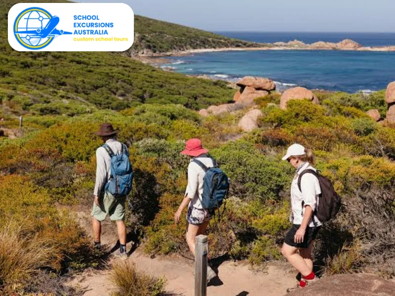
Let the Landscape Support the Lesson
An example of connectivity in the Blue Mountains: By tracing landform, ecosystem, culture, tourism and conservation, you can provide a single habitat for your students to explore. This will add enormous value to your fieldwork by providing each student with a key question and dedicating a longer period for them to explore the evidence.
If teachers are going to organize Blue Mountains school excursions, then one should begin by brain-storming some learning outcomes, with a particular location and activity in mind. It would make an excellent foundation for risk assessment, accessibility and itinerary preparation.
Frequently Asked Questions
The most common learning areas are geography, science, history, nature and cultural knowledge, as well as sections on and Aboriginal education. A program may cover several learning areas but it should be described with a single overarching aim.
No. Routes, content and activity demands differ from one route to another. Teachers must check the state of the road, length of walk, facilities, and school stage to which you intend to go.
Yes. Appropriate activities may include. Field sketches Environmental observations Visitor questionnaires Weather measurements and comparisons of sites Any data-collecting technique should be introduced before the trip.
Use resources created or produced with the participation of an Aboriginal person in the local area. Encourage the practice of appropriate listening skills, following cultural protocols and understanding that some information or sites may not be documented.
Not every program has one single risk. Weather, walking terrain, mode of travel (on road), risk of exposure, student medical needs, and activity type all need to be considered against the chosen itinerary.
